
Getting to the Cabins
How to reach the cabins near Owls Head, south of Malone: the roads from every direction, road miles, the last miles, shops, fuel, the train and the bus.
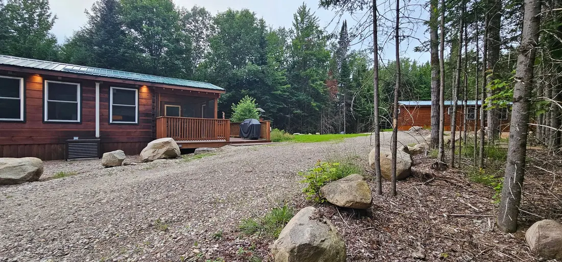
The cabins stand on two wooded properties near the hamlet of Owls Head, in the Town of Bellmont, off County Route 25 about ten road miles south of Malone village, at the northern edge of the Adirondack Park. Every way in ends on county roads, about two miles of narrow town roads and a private drive, which is why every listing calls a car or SUV essential. This guide covers the roads from each direction with road miles, the last miles, where to shop and fill the tank on the way, the train and the bus, what changes after dark, and the first hour at the cabin.
Where the cabins are
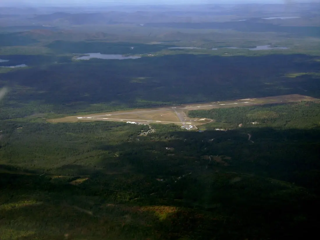
The listings give the location as Malone, the nearest village, but the cabins are in the Town of Bellmont, near the hamlet of Owls Head, about ten road miles south of Malone's Main Street. Titus Mountain's base lodge is about 3.5 road miles away, five to seven minutes by the listings' count, and the hamlet of Chasm Falls, which used to be called Titusville, is about 2.2. Malone-Dufort Airport is 11.6 road miles from the cabins, Saranac Lake 43 and Lake Placid 52.
The cabins are not on NY 30. That highway runs south from Malone toward Paul Smiths a few miles west of the cabins, and from it the last seven road miles are county and town roads. A pin dropped on the highway leaves you seven road miles from the door, with several turns still to make.
There are two properties. The Modern Pine and The Aviator share one, with a single gravel drive, and The Aviator is the far cabin of the two. The Modern Tiny Home shares the second property with a cabin that is not one of these three. The host sends exact directions after you book; keep them, because the last few miles are where phone maps go wrong. The post on the shared properties explains how the cabins sit on them.
Road miles from the main starting points
These are road miles to the cabins on OpenStreetMap's road network, with the main roads for each trip. Drive times depend on the season, the weather and, from Canada, the border, so the drive-from pages give each city's route and stops in more detail, and getting here sums up every way in on one page.
| From | Road miles | Main roads |
|---|---|---|
| Malone village | 10 | Duane Street and County Route 25 |
| Saranac Lake | 43 | NY 86, NY 30 |
| Lake Placid | 52 | NY 86, NY 30 |
| Plattsburgh | 61 | NY 190, US 11 |
| Montreal | 75 to 101 | Depends on the border crossing |
| Ottawa | 104 | Highways 417 and 138, the Cornwall bridge, NY 37 |
| Burlington, Vermont | 115 | I-89, VT 78, US 2, US 11 |
| Watertown | 118 | US 11 |
| Kingston, Ontario | 146 | Highway 401, the Ogdensburg bridge, NY 37, US 11 |
| Albany | 188 | I-87, NY 73, NY 86, NY 30 |
| Syracuse | 189 | I-81, US 11 |
| Rochester | 250 | NY 104, I-81, US 11 |
| Hartford | 300 | I-91, I-90, I-87, then the High Peaks roads |
| Toronto | 308 | Highway 401, the Ogdensburg bridge, NY 37, US 11 |
| Boston | 329 | I-93, I-89, US 2, US 11 |
| Buffalo | 333 | I-90, I-81, US 11 |
| New York City | 337 | I-87, NY 73, NY 86, NY 30 |
From New York City, New Jersey and Albany
Interstate 87 carries most of this trip. From the city it is the New York State Thruway as far as Albany, where exit 24 puts you on the Adirondack Northway, the part of I-87 that runs north from Albany to the Canadian line. Two routes leave the Northway for the cabins, and each has its uses.
Through the High Peaks
Leave the Northway at exit 30. US 9 runs north for two miles to NY 73, which carries you 28 miles through Keene to Lake Placid. From Lake Placid, NY 86 heads west through Saranac Lake and on to Paul Smiths, where NY 30 takes over and runs north past Meacham Lake for about 24 miles. Then you turn east, away from NY 30, for the last seven road miles on county and town roads. This is the shortest way in, about 337 road miles from Midtown Manhattan and 188 from downtown Albany. It is also the route that passes the last big supermarkets before the cabins, in Lake Placid and Saranac Lake.
Through Plattsburgh
The other way stays on the Northway to exit 37 at Plattsburgh. NY 3 runs west for about a mile to NY 190, the Military Turnpike, which heads west to US 11, and US 11 carries on west through the village of Chateaugay to Malone. Phone maps then skirt downtown Malone on side streets and pick up County Route 25 south of the village. From Midtown this is about 363 road miles, some 27 more than the High Peaks route, and about 48 more of those miles are on the Northway. From Plattsburgh itself the trip is about 61 road miles.
NY 374 is a third way from Plattsburgh. It runs west through Dannemora and the hamlet of Lyon Mountain, past Chazy Lake and the Chateaugay Lakes, and reaches US 11 in Chateaugay village. It is about six road miles longer than the NY 190 route, and slower; save it for a daylight drive.
Which one to take
The High Peaks route is shorter and has the shops of Lake Placid and Saranac Lake. The Plattsburgh route makes sense if you are meeting the train or a flight there, if you want Malone's shops on the way in, or if you would rather keep to the interstate longer after a snowfall. In winter, check 511NY, the state's traffic and travel information service, before you choose, and read winter driving for tires, timing and what to carry. From Lake George and Saratoga Springs the same two choices apply. The drive from New York City has the route with its stops.
From the west
From Syracuse, Rochester and Buffalo, I-81 is the way north to Watertown. There US 11 takes over and runs northeast across the North Country, through Canton and Potsdam, to Malone. Syracuse is about 189 road miles from the cabins, Rochester 250, Buffalo 333, Watertown 118 and Potsdam 48. From Utica, NY 12 and NY 812 run north to US 11, about 185 road miles in all.
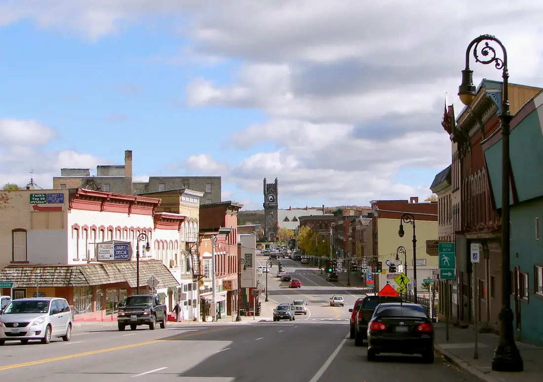
US 11 enters Malone from the west as a commercial strip, with the Walmart Supercenter at 3222 State Route 11 and Aldi at 3324, and then becomes West Main Street. Turn south onto Duane Street, which becomes County Route 25 after a little over a mile.
From Toronto and Kingston, Highway 401 runs east along the St. Lawrence to Prescott, where the Ogdensburg–Prescott International Bridge crosses into New York. NY 37 runs east along the river, NY 420 turns south to US 11, and US 11 runs east to Malone. That is about 308 road miles from Toronto and 146 from Kingston, with the border crossing at the bridge.
From Vermont and New England
From Boston, I-93 and I-89 run north through New Hampshire and Vermont to Swanton. There VT 78 crosses to Alburgh on the Alburg–Swanton bridge, US 2 crosses Lake Champlain into Rouses Point, New York, on the Rouses Point Bridge, and US 11 runs west through Champlain and Chateaugay to Malone. That is about 329 road miles from Boston and 115 from Burlington, with no border crossing. From Hartford, routing goes west on the Massachusetts Turnpike to Albany and up the Northway instead, about 300 road miles.
The ferries
From the Burlington side, two ferries cut the corner. The Grand Isle to Plattsburgh boat runs 24 hours a day, every day of the year, and the crossing takes about 15 minutes. To reach it, leave I-89 at exit 17, follow US 2 west for about nine miles and turn onto VT 314 for the last three miles to the dock. You land at Cumberland Head, about five miles from the Northway's exit 39. Take the Northway one exit south to exit 38, then NY 22 and NY 374 west for about three and a half miles to NY 190, the Military Turnpike, and on to US 11 west. From downtown Burlington this way is about 93 road miles, crossing included, against 115 around the top of the lake. In fall 2026 the one-way fare was $12.25 for a car and driver, plus $5.50 for each adult passenger.
The Charlotte to Essex ferry is about a 25-minute ride that runs year-round when ice and strong north winds allow. From the Essex dock it is about 91 road miles to the cabins by NY 22, the Northway and the Plattsburgh route. The ferry company lists only these two crossings in 2026, so do not plan on a boat between Burlington and Port Kent.
The Crown Point bridge
From southern Vermont and New Hampshire, the year-round crossing is the Lake Champlain Bridge between Chimney Point, Vermont, and Crown Point, New York. The old bridge came down in December 2009, and the new one opened in November 2011. From the New York end it is about 105 road miles to the cabins: NY 9N and NY 22 north along the lake, NY 9N west to Keene, and the High Peaks route through Lake Placid and Saranac Lake. The drive from Boston has more on the Vermont side.
From Montreal, Ottawa and the rest of Canada
The closest crossing, Trout River on NY 30, about 21 road miles from the cabins, has been closed to traffic entering the United States since June 1, 2026, while its port is rebuilt. The General Services Administration estimates the work will be substantially complete in May 2028, and traffic heading north into Canada still crosses there. Every trip south now uses another port:
- Fort Covington, open 24 hours, about 26 road miles from the cabins. From Montreal the route is Autoroute 30 to Salaberry-de-Valleyfield and Route 132 west to Dundee, about 93 road miles in all, and NY 37 brings you into Malone on Finney Boulevard.
- Chateaugay, open 6 a.m. to 6 p.m., the shortest way from Montreal at about 75 road miles when the hours fit.
- Churubusco, open 8 a.m. to 4 p.m., about 84 road miles from Montreal. It works only for traffic into the United States, because Canada closed and demolished its port on the other side in 2011.
- Champlain, open 24 hours, where Autoroute 15 becomes I-87. From Montreal it is about 101 road miles, with US 11 west for the last part.
- Massena, at the Seaway International Bridge from Cornwall, open 24 hours, with a bridge toll payable in Canadian or U.S. money. This is the way from Ottawa, about 104 road miles by Highways 417 and 138 to Cornwall, then NY 37 east to Fort Covington and Malone.
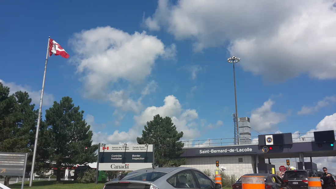
At the booth, U.S. and Canadian citizens show a passport, an enhanced driver's license or a NEXUS card, and U.S. citizens may also use a passport card; children under 16 need only a birth certificate or other proof of citizenship. The rules for dogs, food, firewood and cash, and every port's hours, are on the crossing the border page, and the drive from Montreal walks through the city end of the trip.
The last miles
From Malone, Duane Street leaves West Main Street and heads south. After about a mile and a quarter it becomes County Route 25, Duane Road, and about six miles later you leave it for narrow town roads. The last two miles of town road end at a gravel drive. It is about ten road miles from Main Street, roughly twenty minutes, and one guest put Price Chopper, Walmart and the liquor stores at 15 to 20 minutes from the cabin.
From the south, phone maps leave NY 30 about seven road miles short of the cabins and turn east on County Route 41, Fayette Road, to County Route 25. From the east, they skip downtown Malone and cut south from East Main Street on side streets to County Route 25. Either way the last stretch is the same handful of town roads, and the host's directions may take you a different way from the one your phone suggests.
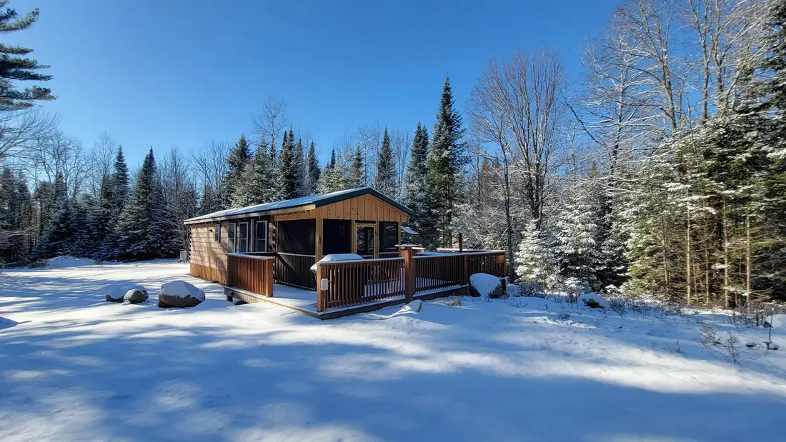
The drive The Modern Pine and The Aviator share is gravel. In winter the drives, steps and decks can carry snow and ice, so come with boots that grip. A February 2026 guest at the Tiny Home wrote that the cabin "is on a rural road, I was happy to have an all wheel drive vehicle to get there." The winter driving guide linked above covers tires and what to keep in the car.
Why the host's directions beat a phone map
Guests have learned this the hard way. One March 2026 guest wrote that GPS never brought them the same way twice, and warned the next guests to be careful of the seasonal road closure. Another wrote that "my apple map brought us past the house," and that the property manager answered within seconds and guided them back. A June 2026 guest who got a little lost wrote that the managers "gave great directions."
The seasonal closure is a New York rule at work. Under the state's Highway Law, a town highway superintendent can designate a lightly used town road as a seasonal limited use highway, and the town can then stop removing snow and ice from it, and stop maintaining it, from December 1 until April 1. The road has to be posted, but a phone map may still route you onto it. That is one more reason to follow the host's route.
- Save the host's directions as a screenshot before you leave home, and keep the message thread easy to find.
- Download the area as an offline map in Google Maps while you are on wifi at home, so the map still works where the signal drops.
- If you go wrong, stop where you have a signal and message the host rather than trying a third route.
Shopping and fuel on the way in
Each cabin has a full kitchen, and nothing is a short drive away, so buy the groceries before the last miles. One guest's advice after a March stay: if you need coffee first thing in the morning, bring it, because there is no "quick coffee run." Where to stop depends on the way you come in.
- From Canada on NY 37. You come into Malone on Finney Boulevard, the street with Price Chopper at number 53, open every day from 6 a.m. to 11 p.m., and The Jug Store at number 44 for wine and spirits. Duane Street is a few blocks on.
- From the west on US 11. Walmart and Aldi are on the State Route 11 strip, and Stewart's at 289 West Main Street sells gas, diesel and non-ethanol premium.
- From the east on US 11. Stewart's has a shop with gas pumps at 195 East Main Street in Chateaugay. In Malone, the Mobil at 593 East Main Street is open 24 hours and sells diesel, and another Stewart's is at 554 East Main. Kinney Drugs, the downtown pharmacy, is at 485 East Main, and Price Chopper is a short detour west to Finney Boulevard.
- From the south on NY 30. You reach the cabins before Malone. Shop at the Price Chopper at 1930 Saranac Avenue in Lake Placid, open from 6 a.m. to 11 p.m., or the Grand Union at 156 Church Street in Saranac Lake, open daily from 7 a.m. to 9 p.m., and fill the tank before you leave the villages. Otherwise plan a run into Malone, ten road miles north, after you check in.
The Malone town guide has the restaurants, pharmacies and Sunday hours, and groceries and supplies lists what the cabin kitchens already have, so you only shop for the rest.
Arriving after dark
In early December the sun sets at the cabins at about 4:17 p.m., and civil twilight ends at about 4:50. In mid-January sunset comes at about 4:42, and in late June not until about 8:46. So on a winter Friday, anyone who leaves Albany after lunch, or Montreal after about 2 p.m., drives the last miles at dusk or after dark, and in winter the 4:02 p.m. train into Plattsburgh puts you on the road at dusk.
Dusk is when the deer move. New York's DMV and DEC warn that deer and moose are most active at dawn and dusk, and that crashes peak from October through December; drivers hit 5,854 deer in New York in November 2024 alone. The state transportation department adds that most deer collisions happen in the two hours before sunrise and after sunset. The Adirondack region has roughly 700 moose, and with their dark coats and their heads above a car's headlights they are hard to see at night. Slow down when one deer crosses, because others may follow, use your high beams where you can, and if an animal stands in the road, brake firmly and do not swerve.
The properties are lit at night. A September 2026 guest at the Tiny Home noted "plenty of bright lights throughout the property," and a January 2025 guest wrote:
When we drove up, the lights were on and the fire was burning..it was so welcoming!
If you are coming from Quebec at night, plan the crossing around the clock: Chateaugay closes at 6 p.m. and Churubusco at 4 p.m., so a late arrival goes through Fort Covington or Champlain. Tell the host your arrival time before you leave Malone, while your phone still has a signal. The stargazing post covers the upside of all that dark.
Phone signal and wifi
Coverage depends on your carrier. Two guests at the Tiny Home, in August and September 2021, split: one warned that the cell signal in the area was weak, and the other wrote that cell service was not an issue. All three cabins have wifi and an ethernet connection, so once you are inside you can message, work and stream over the internet.
On the road, expect gaps, especially inside the park. In 2023 State Senator Dan Stec called the dead zones in the Adirondacks a public safety concern, and by then the Adirondack Park Agency had approved 157 permits for cell towers in the park. Load the host's directions and an offline map before you lose the signal, and send your arrival time from Malone, Saranac Lake or Plattsburgh. In an emergency, dial 911.
By train
Amtrak's Adirondack runs once a day each way between New York and Montreal. Its closest stops to the cabins are Rouses Point, the last stop before the border, and Plattsburgh, each about 62 road miles away, and Westport, about 86. On Amtrak's timetable for October 2026, the northbound train leaves New York's Moynihan Train Hall at 8:15 a.m., reaches Westport at 2:37 p.m., Plattsburgh at 4:02 p.m. and Rouses Point at 4:38 p.m., and arrives in Montreal at 8:16 p.m. The southbound train leaves Montreal at 11:10 a.m., calls at Rouses Point at 2:15 p.m., Plattsburgh at 2:45 p.m. and Westport at 3:46 p.m., and reaches New York at 10:15 p.m. The only connecting buses on that timetable are at Albany-Rensselaer and Saratoga Springs.
Plattsburgh is the stop to use, because the rental counters are close by. The station is a red-brick depot from 1886 at Bridge and Dock Streets, and the airport, about three miles south of downtown, has Avis, Budget and Enterprise counters. Avis lists its airport counter as open from 9 a.m. to 7 p.m., so reserve the car ahead and arrange how you will get from the 4:02 p.m. train to the counter. From Westport the drive is NY 9N to Keene and then the High Peaks route. Check Amtrak's schedule in the week you travel.
By bus
Adirondack Trailways runs buses from the Port Authority terminal in New York into the Adirondacks, with stops at Lake Placid and Saranac Lake, and it has a curbside stop in Malone at 11 Railroad Street. Its schedule shows about one bus a day between Saranac Lake and Malone, a ride of about 50 minutes. Times change, so check before you plan around it. From the Malone stop the cabins are still about ten road miles away, so the bus works only if someone meets you with a car.
Flying in
The closest airline service is at Adirondack Regional Airport at Lake Clear, about 40 road miles south, where Cape Air flies small planes to Boston and New York's JFK. Plattsburgh International, about 64 road miles east, has Allegiant flights to Florida and Contour flights to Washington Dulles. Montréal–Trudeau is 83 to 103 road miles away depending on the crossing, and Burlington, Vermont, about 116. Private pilots can land at Malone-Dufort, 11.6 road miles from the cabins. Every one of them ends at a rental counter; the airports guide compares the flights, the rental companies, the seasons and the paperwork for flying into Canada.
The first hour at the cabin
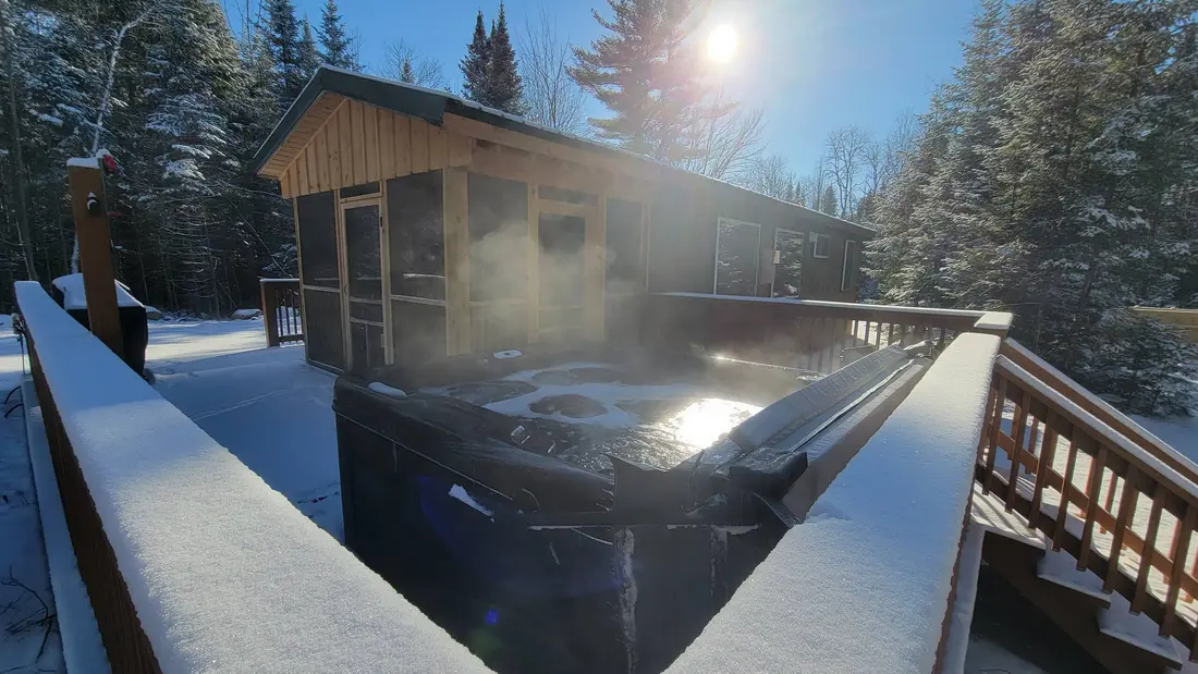
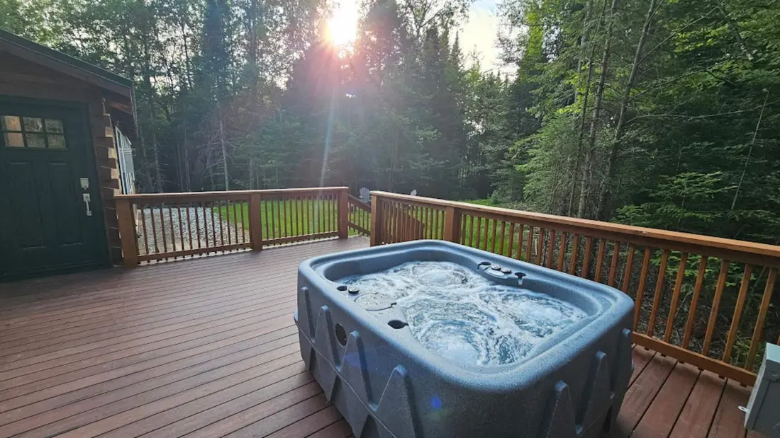
Park in the cabin's parking area; all three listings offer free parking on the premises, and The Modern Pine and Tiny Home listings mention room in the parking area to bring an ATV or a snowmobile. At the Tiny Home, the parking area, the trails and the pond deck are shared with the other cabin on that property when it is booked. On the property The Modern Pine shares with The Aviator, The Aviator is the far cabin, with its name on a sign, and each cabin there has its own hot tub and fire pit.
Ring doorbells at the front doors watch the entrances and decks, and the Tiny Home also has an exterior camera at the parking area. All three listings show exterior cameras only, and the Tiny Home and Modern Pine listings add that there are none inside. Guests describe a door code and clear check-in instructions, and a February 2026 guest noted that the hosts were responsive when the key code did not work the first time. If the door gives you trouble, message the host before you try anything else.
Inside, The Modern Pine and The Aviator each have a Jøtul GF 160 DV gas stove; the Tiny Home has heating and air conditioning instead. All three have wifi and an ethernet connection, a full kitchen with a coffee maker and a kettle, and a washer and dryer. The hot tubs are private to each cabin, and The Modern Pine's listing describes its tub as available all year and open 24 hours. A May 2025 guest found the hot tub "nice and warm upon arrival."
Then put the groceries away and light the grill. The cabin comparison sets the three side by side, and the cabins page has each one's photos and booking link.
Questions
Are the cabins on NY 30?
No. They are near the hamlet of Owls Head in the Town of Bellmont, off County Route 25, about ten road miles south of Malone village. NY 30 runs a few miles to the west, and from it the last seven road miles are county and town roads ending on a private drive. Follow the directions the host sends after you book; getting here has the overview.
How long is the drive from Malone?
About ten road miles, roughly twenty minutes. Duane Street runs south from West Main Street and becomes County Route 25, and the last two miles are town roads and a private drive. Price Chopper, Aldi and the Walmart Supercenter are in Malone, so it is the natural place to stock up on the way in; the Malone town guide has the hours.
Can we get to the cabins without a car?
Not easily. Amtrak's Adirondack stops at Plattsburgh, about 62 road miles away, Adirondack Trailways stops in Malone, about ten miles away, and Cape Air flies to Lake Clear, about 40 miles away. None of them comes closer, and every listing calls a car or SUV essential, so plan on a rental car; see airports near the cabins for the rental counters.
Which border crossing should we use from Montreal at night?
Fort Covington or Champlain, both open 24 hours. The trip from Montreal is about 93 road miles through Fort Covington and about 101 through Champlain. Chateaugay, the shortest way at about 75 miles, is open only from 6 a.m. to 6 p.m., and Trout River on NY 30 is closed to traffic entering the United States until about May 2028. See crossing the border for every port.
Do we need all-wheel drive in winter?
The listings call a car or SUV essential. From December to March the last miles are rural roads and private drives that can carry snow and ice, and a February 2026 guest was glad to have all-wheel drive. Bring winter tires if you can, fill the tank in Malone or Saranac Lake, and follow the host's directions; winter driving has the full checklist.
Will our phones work at the cabins?
That depends on your carrier. Guests at the Tiny Home have reported both a weak signal and no trouble at all, and there are gaps on the roads through the park. All three cabins have wifi and an ethernet connection. Save the host's directions and an offline map before you leave home, and send the host your arrival time before the last miles.
Is there a train to the cabins?
Amtrak's Adirondack runs daily between New York and Montreal. On the October 2026 timetable the northbound train leaves New York's Moynihan Train Hall at 8:15 a.m. and reaches Plattsburgh at 4:02 p.m.; the station is about 62 road miles from the cabins. The airport, three miles south of downtown Plattsburgh, has Avis, Budget and Enterprise counters, so reserve a car ahead and check Amtrak's schedule before you book.
Sources
Facts on this page were checked against these sources in October 2026. Hours, fees and schedules change; confirm before you go.
- The cabin's Airbnb listing airbnb.com/rooms/53628054
- The cabin's Airbnb listing airbnb.com/rooms/41023086
- The cabin's Airbnb listing airbnb.com/rooms/1168252128174283244
- OpenStreetMap (road distances) openstreetmap.org/
- router.project-osrm.org router.project-osrm.org/route/v1/driving/-74.2946,44.8487;-74.192,44.7
- router.project-osrm.org router.project-osrm.org/route/v1/driving/-73.9855,40.758;-74.192,44.76
- Lake Placid tourism (ROOST) lakeplacid.com/explore/getting-here/directions
- chazylake.org chazylake.org/lake-activities.html
- 511NY 511ny.org/
- ferries.com ferries.com/vt-ny-ferry-routes/
- ferries.com ferries.com/vt-ny-ferry-routes/grand-isle-vt-to-plattsburgh-ny/directi
- lcmm.org lcmm.org/explore/lake-champlain-history/the-champlain-bridge/
- U.S. General Services Administration gsa.gov/real-estate/ongoing-construction-projects/trout-river-land-por
- U.S. Customs and Border Protection cbp.gov/about/contact/ports/trout-river-new-york-0715
- U.S. Customs and Border Protection cbp.gov/about/contact/ports/champlain-new-york-0712
- U.S. Customs and Border Protection cbp.gov/about/contact/ports/massena-new-york-0704
- clui.org clui.org/ludb/site/churubuscofranklin-border-crossing
- sibc.ca sibc.ca/toll-rates-2/
- U.S. Customs and Border Protection cbp.gov/travel/us-citizens/western-hemisphere-travel-initiative
- nysenate.gov nysenate.gov/legislation/laws/HAY/205-A
- support.google.com support.google.com/maps/answer/6291838
- pricechopper.com pricechopper.com/stores/ny/malone/price-chopper-166.html
- pricechopper.com pricechopper.com/stores/ny/lakeplacid/price-chopper-180.html
- grandunion.com grandunion.com/locations/
- locations.stewartsshops.com locations.stewartsshops.com/ny/malone/331
- locations.stewartsshops.com locations.stewartsshops.com/ny/chateaugay/137
- exxonmobilfuels.com exxonmobilfuels.com/en/find-gas-station/mobil-malone-ny-maplefieldsatm
- aa.usno.navy.mil aa.usno.navy.mil/api/rstt/oneday?date=2026-12-01&coords=44.769,-74.192
- New York State DMV dmv.ny.gov/news/dmv-and-dec-caution-drivers-to-be-aware-of-deer-and-mo
- New York State Department of Transportation dot.ny.gov/programs/deerandmoose
- wcax.com wcax.com/2023/08/11/are-outdated-policies-hang-up-with-poor-cellphone-
- Amtrak content.amtrak.com/content/timetable/Adirondack.pdf
- Amtrak amtrak.com/stations/plb
- allegiantair.com allegiantair.com/airports/plattsburgh-international-airport
- flyplattsburgh.com flyplattsburgh.com/parking-transportation
- avis.com avis.com/en/locations/nam/us/ny/plattsburgh/pbg
- Saranac Lake tourism saranaclake.com/directions
- trailways.com trailways.com/schedules/bus-from-malone-ny-to-saranac-lake-ny/
- trailways.com trailways.com/bus-station/malone-ny/detail/
- adirondackairport.com adirondackairport.com/commercial-flights-with-cape-air
- flyplattsburgh.com flyplattsburgh.com/flight-status-airlines
- router.project-osrm.org router.project-osrm.org/route/v1/driving/-73.9855,40.758;-73.540856,44
- router.project-osrm.org router.project-osrm.org/route/v1/driving/-73.3711664,44.9950044;-74.19
- OpenStreetMap (road distances) nominatim.openstreetmap.org/
In this guide
Stay nearby
The aviation cabin: flight-themed décor, a Jøtul gas stove, a large open deck with its own hot tub, and a smokeless fire pit on the lawn.
 The AviatorCabin 3 · 2 bd · 1 ba · sleeps 4
More in Plan Your Trip
Sources
44 references, listed in full at the end of this guide: official park, state, tourism-office and business sources, checked October 2026.
Related guides


Photos on this page: Malone NY by P199, CC BY-SA 3.0; 20170809-Saint-Bernard-de-Lacolle US-Canada (NY-Quebec) border crossing by Aude, CC BY-SA 4.0. Resized and cropped for this site. All photo credits