
Three cabins on two properties near Owls Head, about ten road miles south of Malone. Distances on this map are straight-line from here.
See the cabins →
The map
Three cabins near Owls Head, ten road miles south of Malone, and the places around them, each linked to its guide. Distances are straight-line miles from the cabins; the cabins sit at their listing coordinates, which are approximate, and so is every other pin.
Imagery: USGS The National Map · Roads © OpenStreetMap contributors · Leaflet
 The cabinsWhere you stayOpen →The Modern Tiny HomeCabin 1Open →
 The Modern PineCabin 2Open →
 The AviatorCabin 3Open →
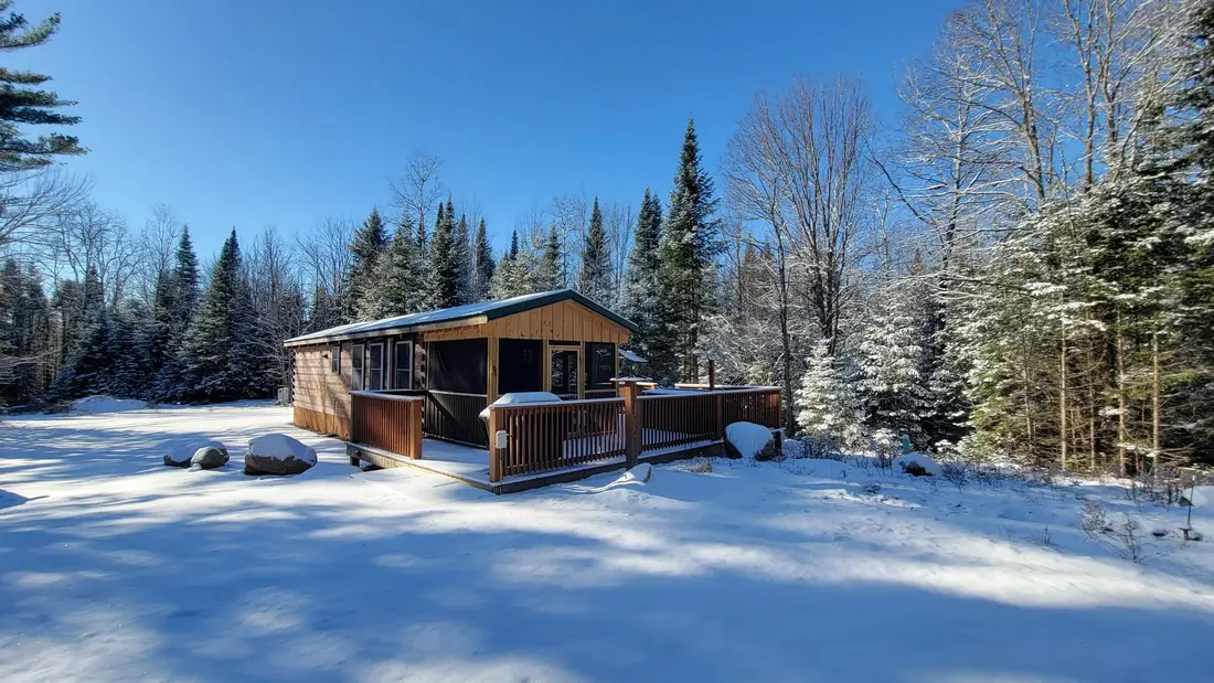 Titus Mountain Family Ski Center2 mi · Things to doOpen →
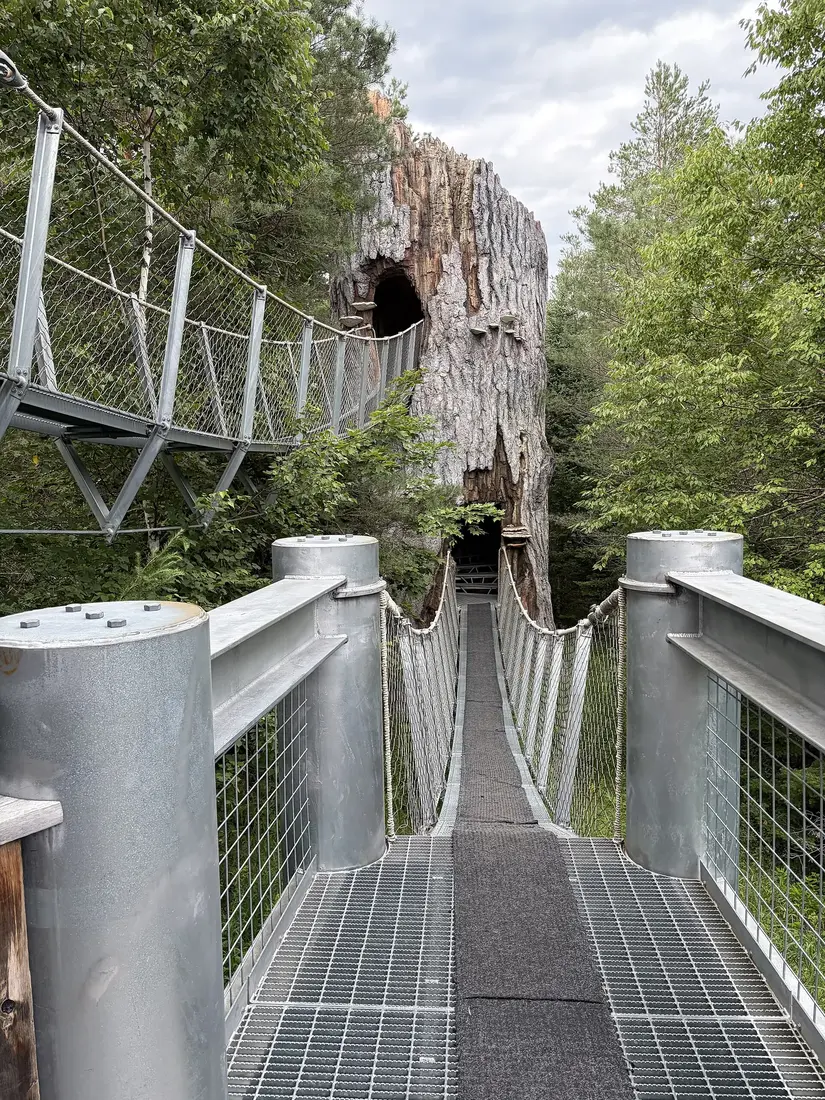 Malone Golf Club6 mi · Things to doOpen →
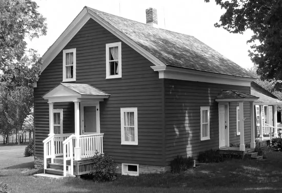 Almanzo Wilder Farm7 mi · Things to doOpen →
 Franklin County Fairgrounds7 mi · Things to doOpen →
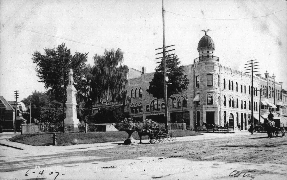 House of History7 mi · Things to doOpen →The Wild Center40 mi · Things to doOpen →
 Lake Placid Olympic Center35 mi · Things to doOpen →Mt Van Hoevenberg41 mi · Things to doOpen →
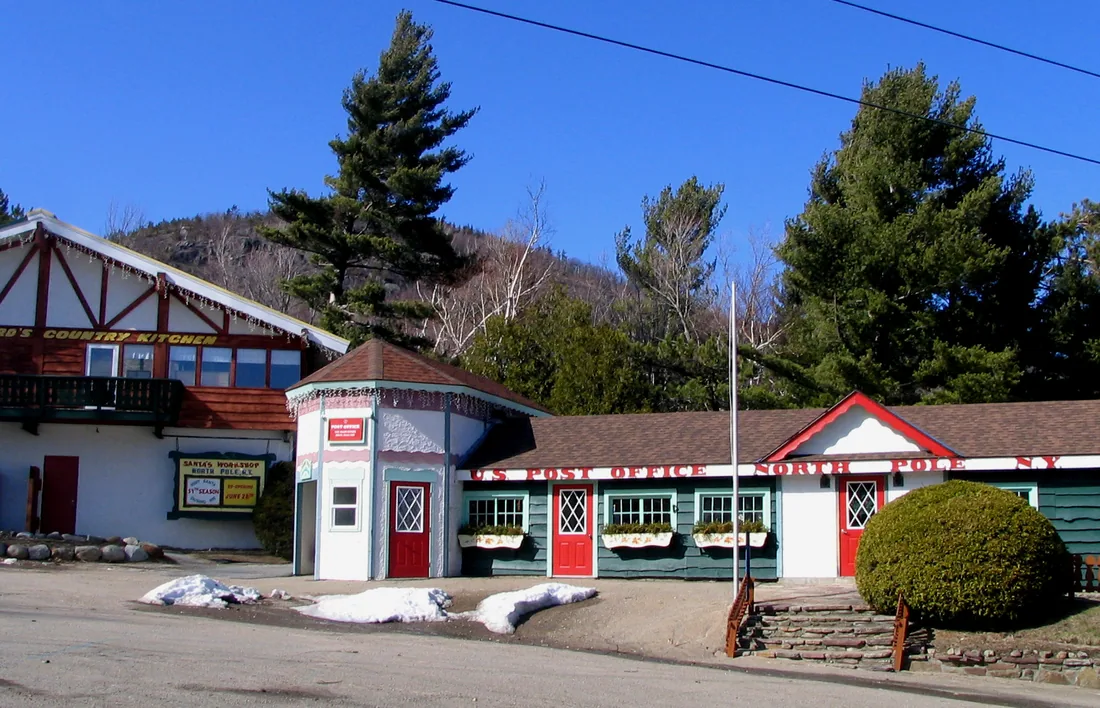 Santa's Workshop31 mi · Things to doOpen →
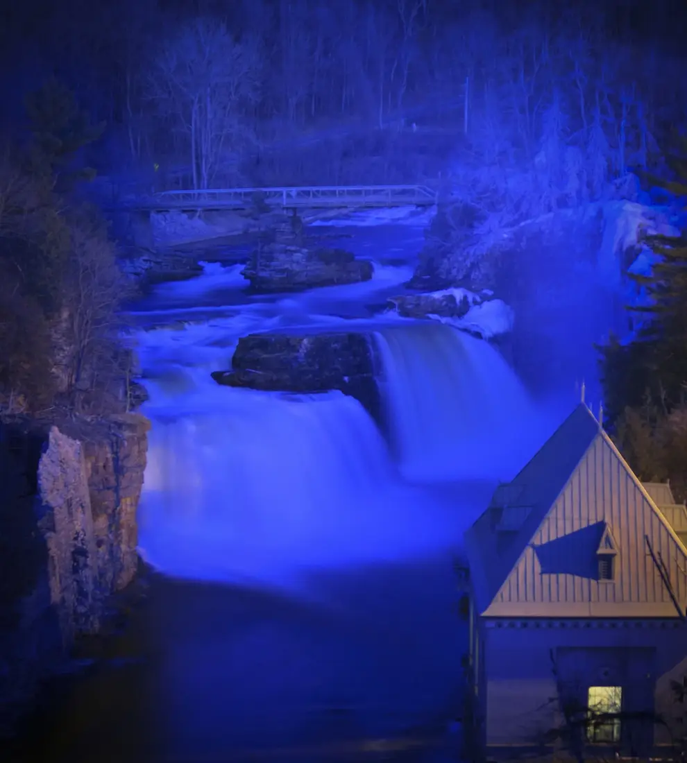 Ausable Chasm40 mi · Things to doOpen →
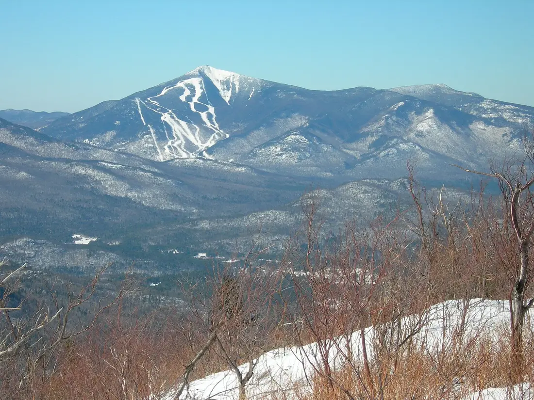 Whiteface Mountain31 mi · Things to doOpen →
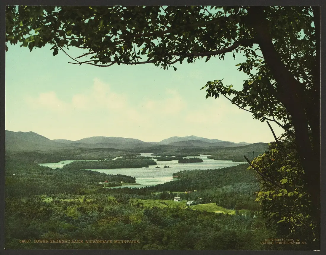 Paul Smith's College VIC23 mi · Trails & summitsOpen →
 Elephant's Head (Titusville Mountain State Forest)6 mi · Trails & summitsOpen →High Falls trail, Barnesville Road4 mi · Trails & summitsOpen →Owls Head3 mi · Trails & summitsOpen →
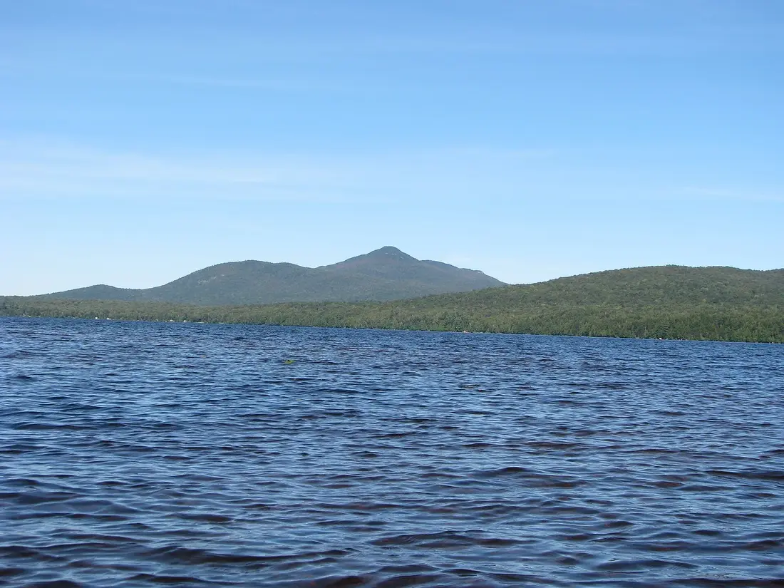 Debar Mountain12 mi · Trails & summitsOpen →Loon Lake (hamlet), near Loon Lake Mountain16 mi · Trails & summitsOpen →
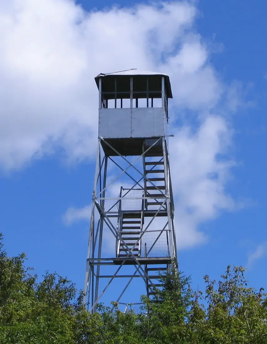 Azure Mountain fire tower22 mi · Trails & summitsOpen →
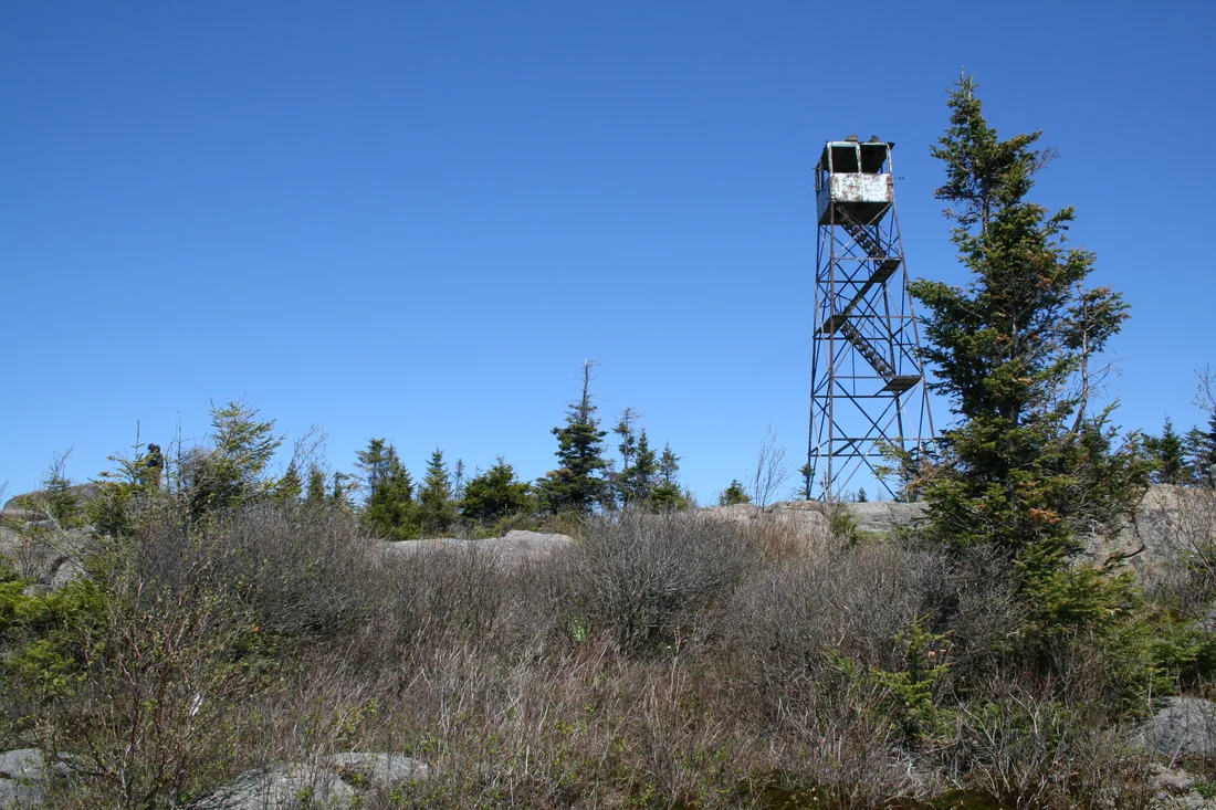 St. Regis Mountain26 mi · Trails & summitsOpen →
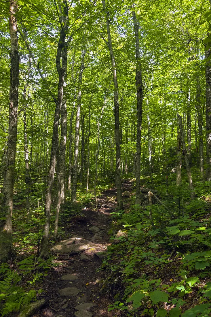 Lyon Mountain17 mi · Trails & summitsOpen →
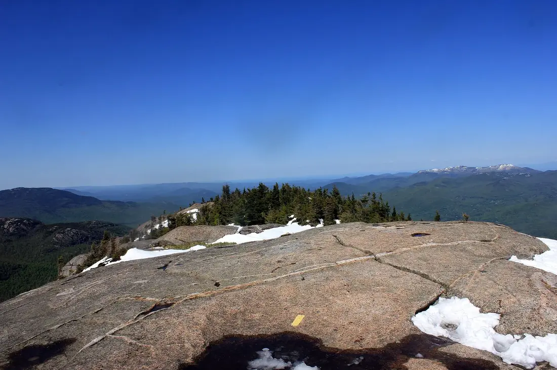 Cascade Mountain trailhead41 mi · Trails & summitsOpen →
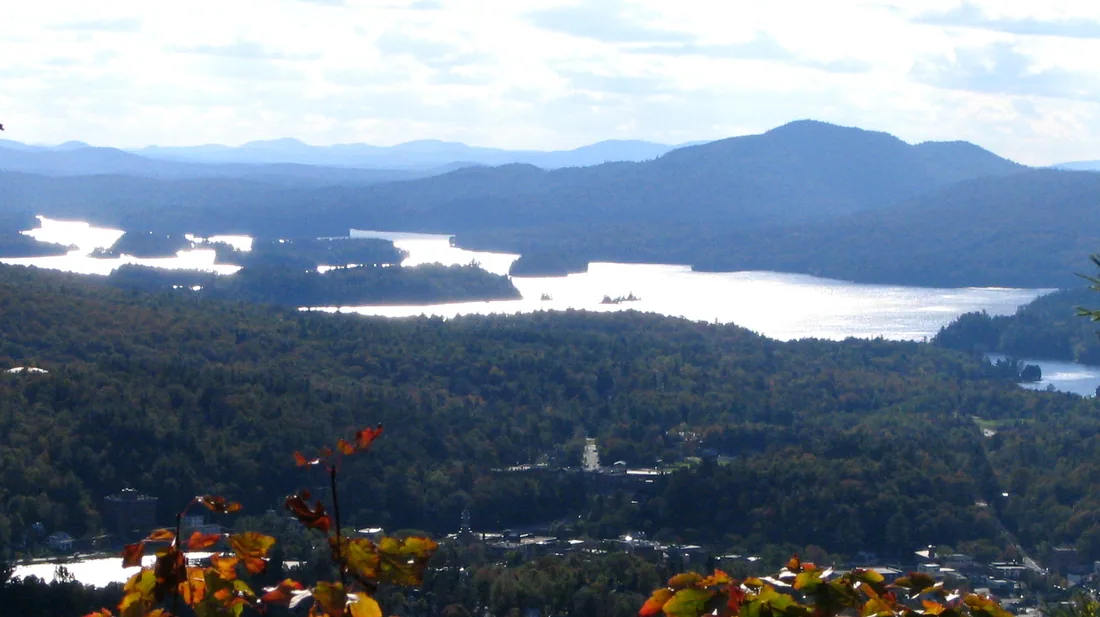 Berkeley Green (6er bell)31 mi · Trails & summitsOpen →
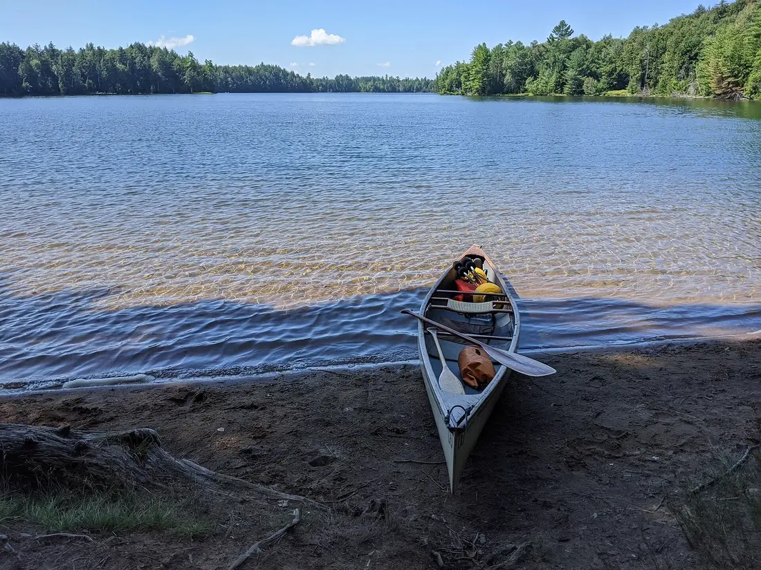 Lake Titus5 mi · Lakes & waterOpen →Indian Lake and Mountain View Lake5 mi · Lakes & waterOpen →Meacham Lake15 mi · Lakes & waterOpen →Deer River Flow10 mi · Lakes & waterOpen →Saint Regis Canoe Area (St. Regis Pond)28 mi · Lakes & waterOpen →
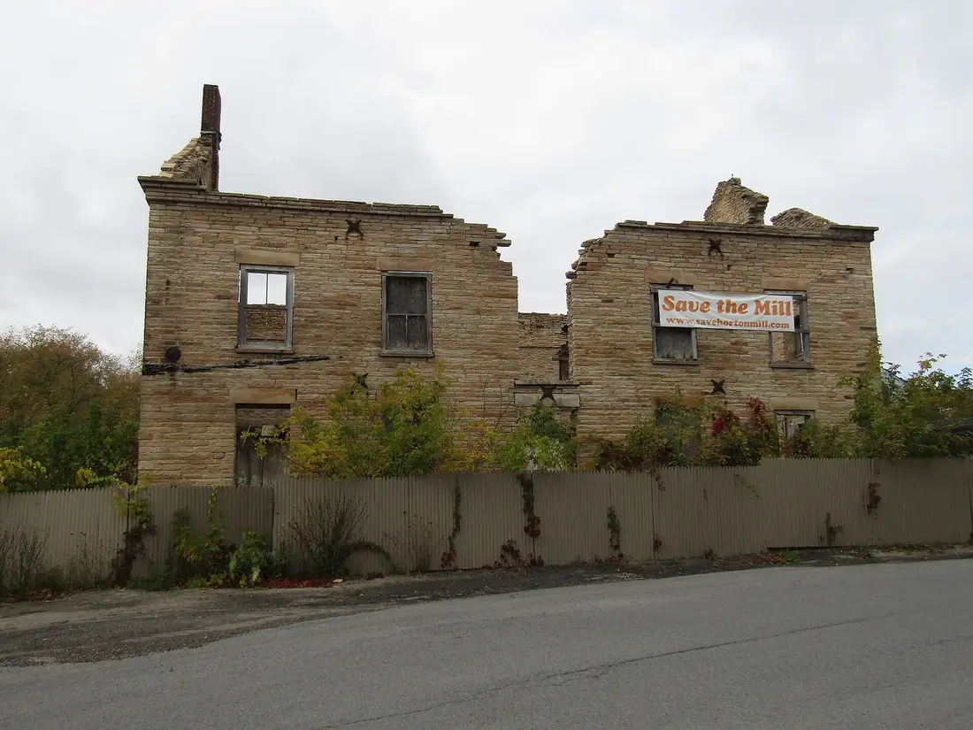 Salmon River in Malone village7 mi · Lakes & waterOpen →Rotary Lake, Malone Recreation Park8 mi · Lakes & waterOpen →High Falls Park, Chateaugay11 mi · Lakes & waterOpen →Upper Chateaugay Lake10 mi · Lakes & waterOpen →
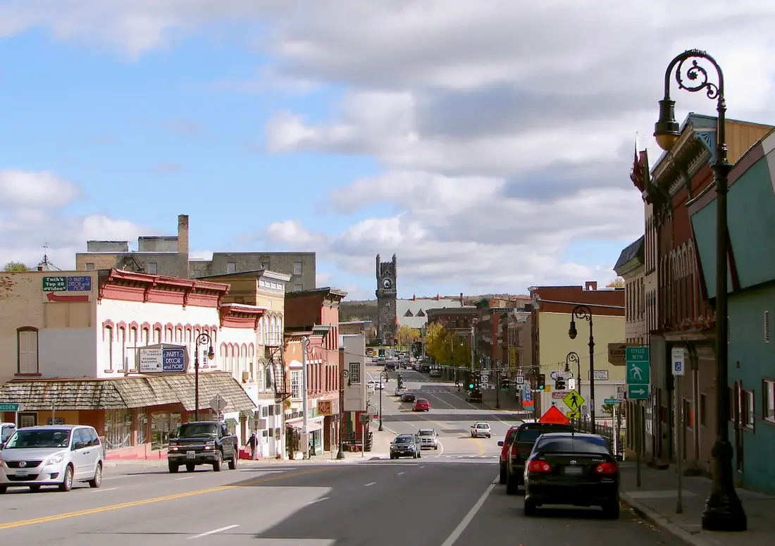 Malone7 mi · Towns & crossingsOpen →UVM Health Alice Hyde Medical Center8 mi · Towns & crossingsOpen →
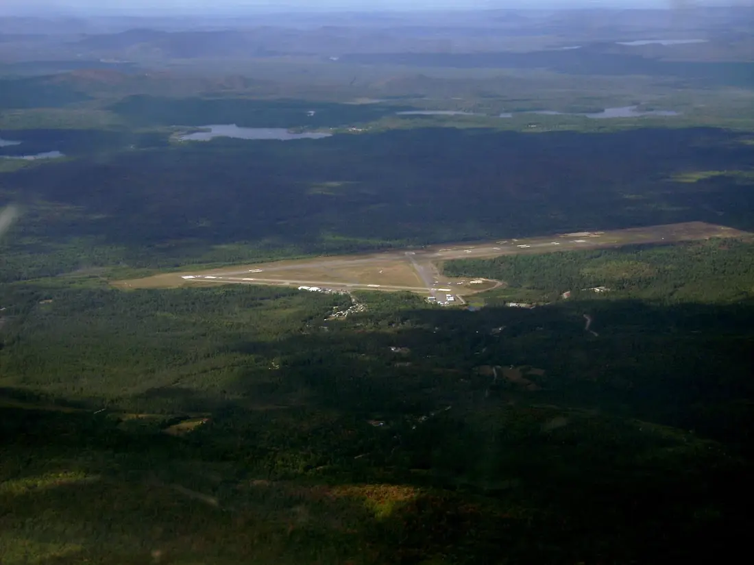 Malone-Dufort Airport (MAL)9 mi · Towns & crossingsOpen →
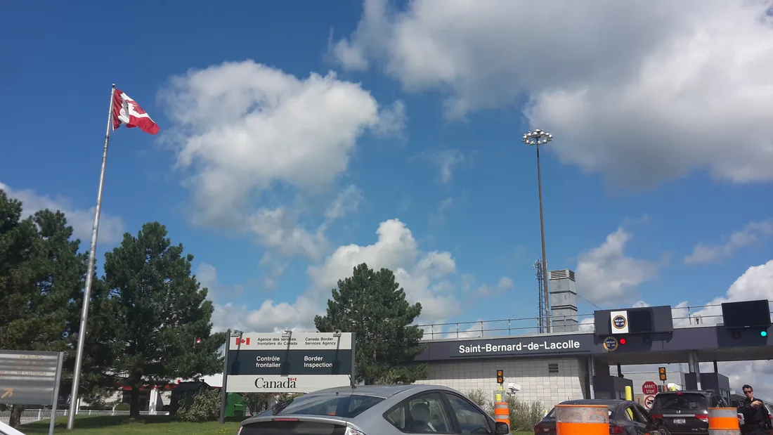 Fort Covington crossing21 mi · Towns & crossingsOpen →Chateaugay crossing17 mi · Towns & crossingsOpen →Trout River crossing16 mi · Towns & crossingsOpen →Champlain crossing40 mi · Towns & crossingsOpen →Saranac Lake31 mi · Towns & crossingsOpen →Adirondack Regional Airport (SLK)26 mi · Towns & crossingsOpen →Lake Placid35 mi · Towns & crossingsOpen →
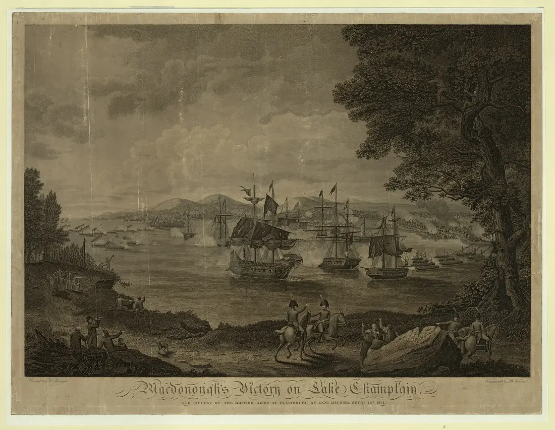 Plattsburgh37 mi · Towns & crossingsOpen →Chateaugay12 mi · Towns & crossingsOpen →
Three cabins on two properties near Owls Head, about ten road miles south of Malone. Distances on this map are straight-line from here.
The first of the cabins: a big stone fire pit you see as you walk up, a screened corner of the deck, direct trail access, and a short walk to an observation deck over the pond.
The après-ski cabin: a Jøtul gas stove between two picture windows, a large screened room on the deck, a hot tub open all year, and Titus Mountain minutes away.
The aviation cabin: flight-themed décor, a Jøtul gas stove, a large open deck with its own hot tub, and a smokeless fire pit on the lawn.
53 trails, night skiing, tubing
36 holes, Ross and Robert Trent Jones
Farmer Boy's farm, open in summer
Nine days every August
County museum, tours by appointment
Museum and the Wild Walk
The Miracle on Ice rink and museum
Bobsled run, coaster, ski trails
Reopens late November 2026
Sandstone gorge, rafting
Olympic ski area, summit road
25 miles of trails
0.8 miles to a view over Lake Titus
Flat walk to a 30-foot waterfall
1.3 miles to open ledges
3,305 ft, 3.7-mile trail
2.8 miles to the fire tower
1-mile climb, open tower
Restored 1918 fire tower
3,830 ft, the big view
The starter High Peak
Where the Saranac Lake 6er ends
435 acres, bass and perch
Joined lakes, pike and bass
1,185 acres, state campground
Quiet flatwater paddling
No motors, about fifty ponds
Stocked trout water in the village
Swimming area and walking path
120-foot waterfall
Boating and fishing
County seat: shops, dining, the hospital
24-hour emergency department
General aviation, 100LL
Open 24 hours
Open 6 a.m. to 6 p.m.
Closed southbound until about 2028
I-87, open 24 hours
Village on the lakes
Cape Air to Boston and JFK
Olympic village
Airport, Amtrak, Lake Champlain
Village on US 11
No place on this map matches that. Try a shorter word, or clear the search.
Cabin photographs are the owner's. Place photographs are credited on each card and below, under their own licences. Satellite imagery: USGS The National Map, NAIP orthoimagery (public domain). Roads © OpenStreetMap contributors (ODbL). Map engine: Leaflet (BSD).
The cabinsWhere you stayThree cabins on two properties near Owls Head, about ten road miles south of Malone. Distances on this map are straight-line from here.
See the cabins →The Modern Tiny HomeCabin 1The first of the cabins: a big stone fire pit you see as you walk up, a screened corner of the deck, direct trail access, and a short walk to an observation deck over the pond.
See the cabin →The Modern PineCabin 2The après-ski cabin: a Jøtul gas stove between two picture windows, a large screened room on the deck, a hot tub open all year, and Titus Mountain minutes away.
See the cabin →The AviatorCabin 3The aviation cabin: flight-themed décor, a Jøtul gas stove, a large open deck with its own hot tub, and a smokeless fire pit on the lawn.
See the cabin →Titus Mountain Family Ski Center2 mi · Things to do53 trails, night skiing, tubing
Open the guide →Malone Golf Club6 mi · Things to do36 holes, Ross and Robert Trent Jones
Open the guide →Almanzo Wilder Farm7 mi · Things to doFarmer Boy's farm, open in summer
Open the guide →Franklin County Fairgrounds7 mi · Things to doNine days every August
Open the guide →House of History7 mi · Things to doCounty museum, tours by appointment
Open the guide →The Wild Center40 mi · Things to doMuseum and the Wild Walk
Open the guide →Lake Placid Olympic Center35 mi · Things to doThe Miracle on Ice rink and museum
Open the guide →Mt Van Hoevenberg41 mi · Things to doBobsled run, coaster, ski trails
Open the guide →Santa's Workshop31 mi · Things to doReopens late November 2026
Open the guide →Ausable Chasm40 mi · Things to doSandstone gorge, rafting
Open the guide →Whiteface Mountain31 mi · Things to doOlympic ski area, summit road
Open the guide →Paul Smith's College VIC23 mi · Trails & summits25 miles of trails
Open the guide →Elephant's Head (Titusville Mountain State Forest)6 mi · Trails & summits0.8 miles to a view over Lake Titus
Open the guide →High Falls trail, Barnesville Road4 mi · Trails & summitsFlat walk to a 30-foot waterfall
Open the guide →Owls Head3 mi · Trails & summits1.3 miles to open ledges
Open the guide →Debar Mountain12 mi · Trails & summits3,305 ft, 3.7-mile trail
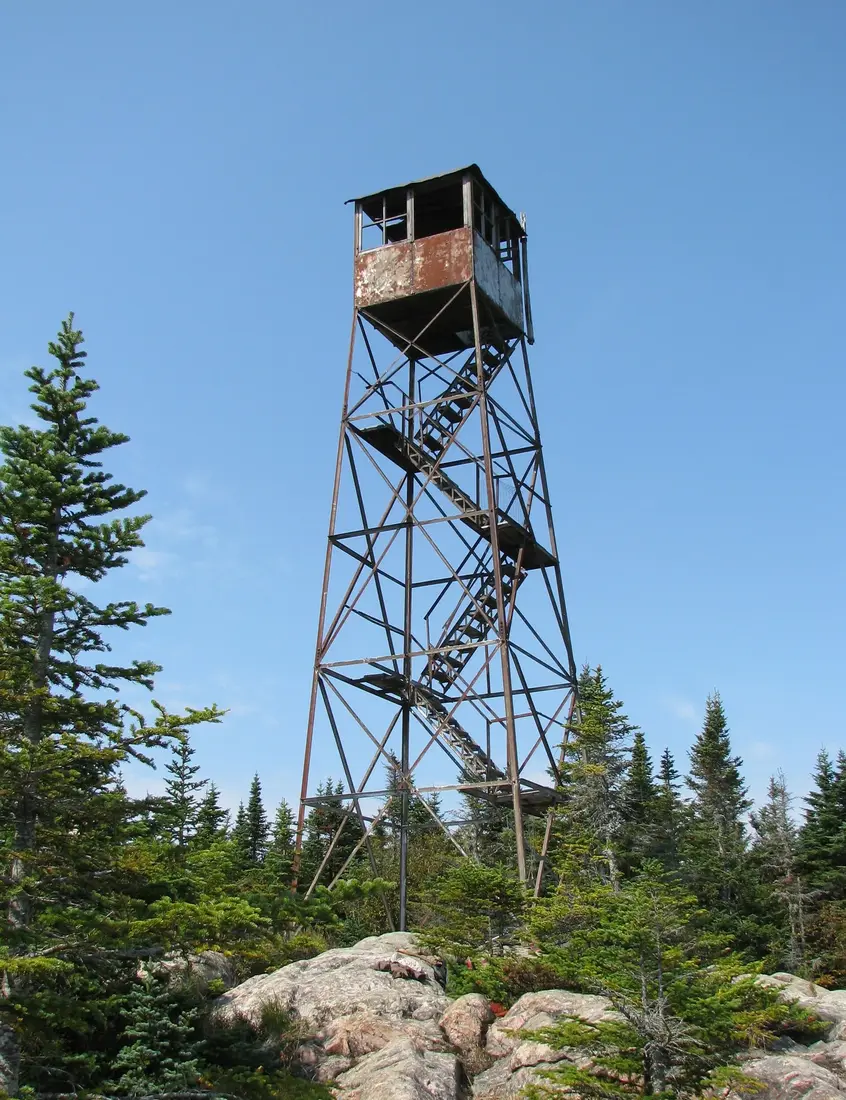
Open the guide →Loon Lake (hamlet), near Loon Lake Mountain16 mi · Trails & summits2.8 miles to the fire tower
Open the guide →Azure Mountain fire tower22 mi · Trails & summits1-mile climb, open tower
Open the guide →St. Regis Mountain26 mi · Trails & summitsRestored 1918 fire tower
Open the guide →Lyon Mountain17 mi · Trails & summits3,830 ft, the big view
Open the guide →Cascade Mountain trailhead41 mi · Trails & summitsThe starter High Peak
Open the guide →Berkeley Green (6er bell)31 mi · Trails & summitsWhere the Saranac Lake 6er ends
Open the guide →Lake Titus5 mi · Lakes & water435 acres, bass and perch
Open the guide →Indian Lake and Mountain View Lake5 mi · Lakes & waterJoined lakes, pike and bass
Open the guide →Meacham Lake15 mi · Lakes & water1,185 acres, state campground
Open the guide →Deer River Flow10 mi · Lakes & waterQuiet flatwater paddling
Open the guide →Saint Regis Canoe Area (St. Regis Pond)28 mi · Lakes & waterNo motors, about fifty ponds
Open the guide →Salmon River in Malone village7 mi · Lakes & waterStocked trout water in the village
Open the guide →Rotary Lake, Malone Recreation Park8 mi · Lakes & waterSwimming area and walking path
Open the guide →High Falls Park, Chateaugay11 mi · Lakes & water120-foot waterfall
Open the guide →Upper Chateaugay Lake10 mi · Lakes & waterBoating and fishing
Open the guide →Malone7 mi · Towns & crossingsCounty seat: shops, dining, the hospital
Open the guide →UVM Health Alice Hyde Medical Center8 mi · Towns & crossings24-hour emergency department
Open the guide →Malone-Dufort Airport (MAL)9 mi · Towns & crossingsGeneral aviation, 100LL
Open the guide →Fort Covington crossing21 mi · Towns & crossingsOpen 24 hours
Open the guide →Chateaugay crossing17 mi · Towns & crossingsOpen 6 a.m. to 6 p.m.
Open the guide →Trout River crossing16 mi · Towns & crossingsClosed southbound until about 2028
Open the guide →Champlain crossing40 mi · Towns & crossingsI-87, open 24 hours
Open the guide →Saranac Lake31 mi · Towns & crossingsVillage on the lakes
Open the guide →Adirondack Regional Airport (SLK)26 mi · Towns & crossingsCape Air to Boston and JFK
Open the guide →Lake Placid35 mi · Towns & crossingsOlympic village
Open the guide →Plattsburgh37 mi · Towns & crossingsAirport, Amtrak, Lake Champlain
Open the guide →Chateaugay12 mi · Towns & crossingsVillage on US 11
Open the guide →Trip types, the guides by subject, the drive from your city and the seasons.
Photos on this page: Wild Center 01 by Dclemens1971, CC BY 4.0; Franklin County Fairgrounds Malone by Royalbroil, CC BY-SA 4.0; Santa's Workshop - North Pole NY by Mwanner, CC BY-SA 3.0; Fire Observation Tower on the summit of Loon Lake Mountain, Loon Lake, New York, Franklin County by Marc Wanner, CC BY-SA 3.0; Meacham Lake Franklin County New York by Mwanner, CC BY-SA 3.0; Azure Mountain Fire Tower by Mwanner, CC BY-SA 3.0; Saint Regis Fire Tower 2010 t6 by John Sweeney, CC BY-SA 3.0; Hiking trail in sunlit forest, Lyon Mountain, NY by Daniel Case, CC BY-SA 3.0; SaranacLake by Mwanner at en.wikipedia, CC BY-SA 3.0; St Regis Canoe Area by Marty Plante, CC BY-SA 4.0; Ruins of Horton Grist Mill, Malone, NY Front View by OneEagle, CC BY-SA 4.0; Malone NY by P199, CC BY-SA 3.0; 20170809-Saint-Bernard-de-Lacolle US-Canada (NY-Quebec) border crossing by Aude, CC BY-SA 4.0. Resized and cropped for this site. All photo credits