
Lakes & Paddling
Meacham Lake and the Deer River Flow, the Saint Regis Canoe Area where motors are not allowed, Lake Titus, the Chateaugay Lakes and the Salmon River through Malone.
Water within an hour of the cabins
The nearest water is small and quiet. Lake Titus, 435 acres, lies under Elephant's Head about six road miles from the cabins, and the lake hamlets of Owls Head and Mountain View are a few miles east. At The Modern Tiny Home a trail leads to a pond with an observation deck, where guests have watched beavers at work.
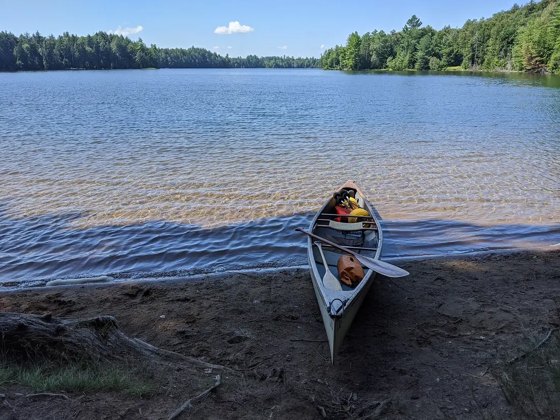
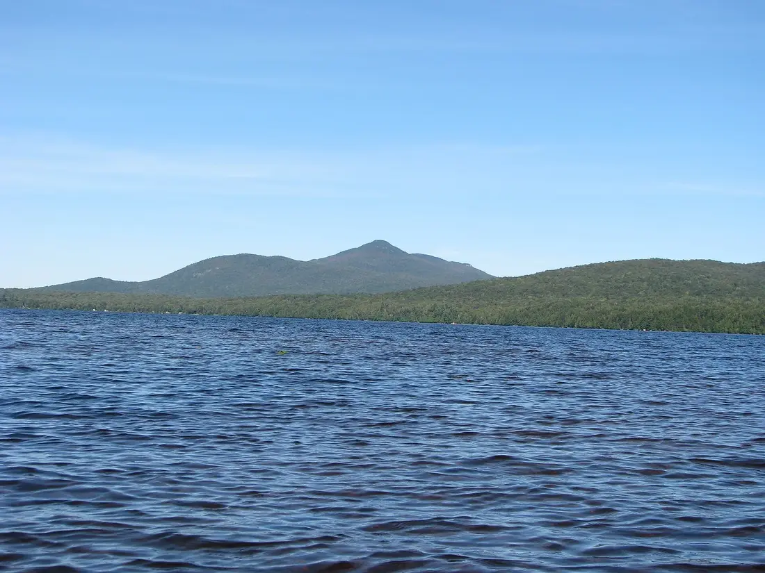
Half an hour south, Meacham Lake covers 1,185 acres, with a state campground and the flatwater of the Deer River Flow. The Saint Regis Canoe Area, 35 miles away, is the only designated canoe area in New York: 18,400 acres of forest and about fifty ponds where motors are not allowed, linked by short portages called carries, including the Seven Carries route.
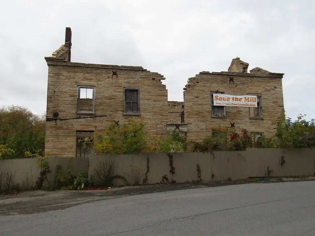
Closer to town, the Salmon River runs north through Malone past the stone ruin of the Horton Gristmill and Rotary Lake in the recreation park, and it holds trout. The Chateaugay Lakes and the waterfall park at the village of Chateaugay are about three quarters of an hour east. Each guide covers the launches, the rules and the drive; the fishing trips page covers licenses and seasons.
Lakes & Paddling
Each guide ends with its sources. Distances are road miles from the cabins, measured on OpenStreetMap routing.
Meacham Lake and the Deer River Flow
The Saint Regis Canoe Area
Lake Titus, Indian Lake and Mountain View
The Salmon River in Malone
Chateaugay Lakes and High Falls
Paddling the Saranac Lakes
The Raquette River from Tupper Lake
Fly Fishing the West Branch of the Ausable
Canoe and Kayak Rentals
Swimming near the Cabins
Valcour Island
Every lakes & paddling guide
More guides



Photos on this page: St Regis Canoe Area by Marty Plante, CC BY-SA 4.0; Meacham Lake Franklin County New York by Mwanner, CC BY-SA 3.0; Ruins of Horton Grist Mill, Malone, NY Front View by OneEagle, CC BY-SA 4.0. Resized and cropped for this site. All photo credits